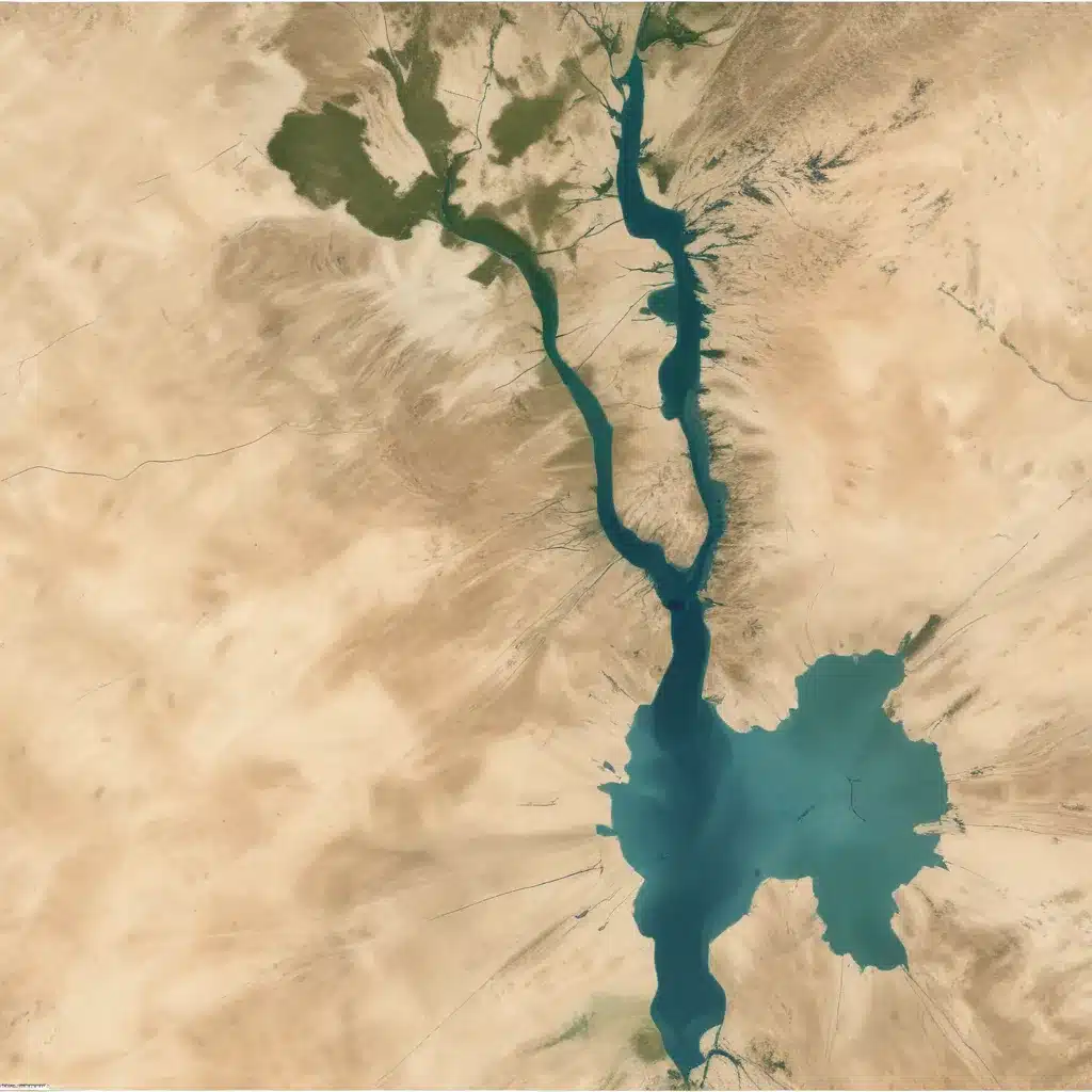
The Importance of Hamrin Lake in Iraq’s Water Crisis
Iraq is facing a severe water crisis, with its lakes and rivers experiencing significant drought due to climate change and political factors. One of the critical water bodies in the region is Hamrin Lake, located in the Diyala Governorate of northeastern Iraq. This artificial reservoir, formed after the construction of the Hamrin Dam in 1981, serves as a vital source of irrigation, flood control, and hydroelectric power generation for the surrounding communities.
However, the fluctuations in Hamrin Lake’s water levels have become a growing concern, posing significant challenges to the region’s water management and ecosystem health. To better understand the dynamics of this important water body, this study utilizes remote sensing and Geographic Information System (GIS) techniques to analyze the changes in the lake’s surface area and shoreline length over the past two decades, from 2004 to 2024.
Methodology: Leveraging Satellite Imagery and GIS
The research team employed a comprehensive approach to assess the hydrologic changes in Hamrin Lake. They acquired Landsat satellite images from 2004, 2009, 2014, 2019, and 2024 to examine the temporal variations in the lake’s surface area and shoreline length. These images underwent careful processing, including geometric adjustments, sensor and ambient interference corrections, and integration into a GIS system for spatial analysis.
By creating detailed layers of surface water area and shoreline length, the researchers were able to quantify the fluctuations in Hamrin Lake over the 20-year period. The increase and decline percentages were calculated to identify the trends and intensities of the changes, which were then compared to historical records and other relevant studies to enhance the reliability of the findings.
Results: Dramatic Shifts in Hamrin Lake’s Surface Area and Shoreline
The analysis of Hamrin Lake’s hydrologic dynamics revealed significant variations in its surface area and shoreline length over the past two decades:
Surface Area Fluctuations
- 2004: The baseline surface area of Hamrin Lake was 220.42 km².
- 2009: The surface area had drastically decreased to 35.28 km², a staggering 84% reduction from the 2004 level.
- 2014: The lake’s surface area partially rebounded to 139.05 km², still 36.9% less than the 2004 baseline.
- 2019: The surface area expanded considerably to 306.11 km², exceeding the 2004 baseline by 85.69 km².
- 2024: The surface area measured 263.43 km², a slight reduction of 42.68 km² from 2019 but still 43.01 km² larger than the 2004 baseline, representing a 13.5% increase.
Shoreline Length Changes
- 2004: The shoreline length was measured at 179.22 km.
- 2009: The shoreline length had decreased by 50.2% to 89.32 km.
- 2014: The shoreline length reached 172.96 km, a recovery of 6.26 km from 2009 but still 3.5% shorter than the 2004 baseline.
- 2019: The shoreline length significantly increased to 256.59 km, a 43.2% rise compared to 2004.
- 2024: The shoreline expanded further to 286.38 km, a 59.8% increase from the 2004 baseline.
Linking Hydrologic Trends to Climatic and Geopolitical Factors
The researchers analyzed the changes in Hamrin Lake’s surface area and shoreline length in the context of regional climatic and geopolitical factors. By comparing the lake’s hydrologic trends with historical precipitation data in Iraq and Tigris River discharge measurements, they were able to uncover significant correlations.
The initial decline in the lake’s surface area from 2004 to 2009 coincided with a notable reduction in rainfall and Tigris River discharge. This water scarcity, exacerbated by the construction of dams in neighboring countries, particularly Turkey, significantly strained the Diyala River basin, which feeds Hamrin Lake.
Conversely, the subsequent recovery and expansion of the lake’s surface area and shoreline length from 2009 to 2019 were attributed to the rise in precipitation within the Diyala River basin, as well as strategic management actions to mitigate the excessive utilization of the reservoir’s water during this period.
Challenges and Recommendations for Sustainable Water Management
Despite the recent positive trends, the researchers caution that the future of Hamrin Lake remains uncertain. Projections indicate a significant reduction in rainfall rates in the Diyala River basin over the coming decades, which could lead to the deterioration of the lake’s condition.
To address this challenge, the researchers emphasize the need for strict water supply and demand policies, including the implementation of efficient irrigation systems and other water conservation measures. Additionally, they recommend ecological rehabilitation activities, such as the provision of aquatic habitats and soil stabilization through afforestation in the lake’s catchment area.
Crucially, the researchers stress that the preservation of Hamrin Lake cannot be achieved without the active participation and increased awareness of the local community. By fostering community engagement and promoting sustainable water management practices, the region can work towards ensuring the long-term viability of this crucial water body.
Conclusion: Harnessing Remote Sensing and GIS for Effective Water Management
The analysis of Hamrin Lake’s hydrologic dynamics using remote sensing and GIS techniques has provided valuable insights into the complex interplay of environmental, climatic, and geopolitical factors shaping the region’s water resources. This comprehensive study underscores the importance of leveraging advanced technologies and interdisciplinary approaches to monitor and manage critical water bodies like Hamrin Lake.
By understanding the past and present trends, stakeholders can develop targeted strategies to mitigate the impacts of water scarcity and ensure the sustainable use of this vital resource. As Iraq continues to grapple with its water crisis, the lessons learned from the Hamrin Lake case study can serve as a blueprint for effective water management practices in other parts of the country and the wider region.

