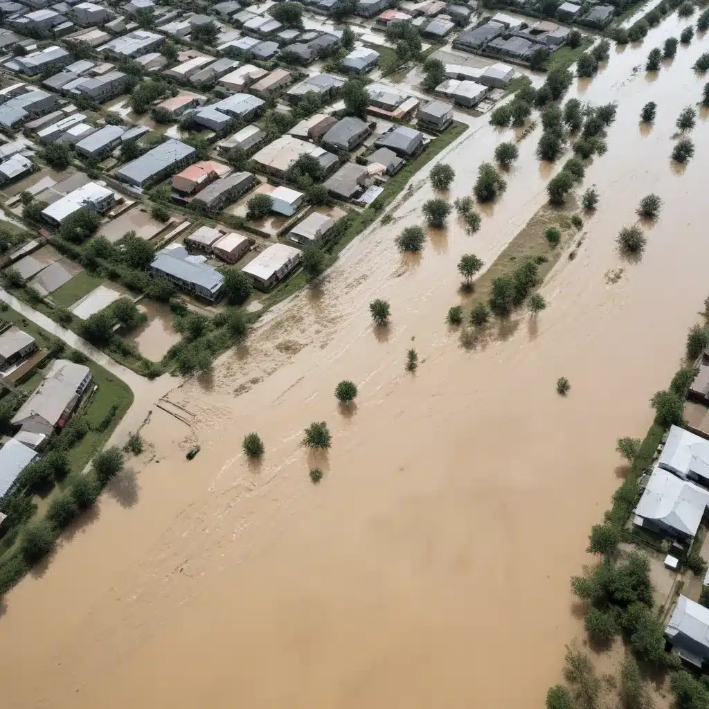
Understanding the Power of Participatory Mapping
Effective flood risk management requires a comprehensive, evidence-based approach that engages all stakeholders, from local communities to policymakers. One powerful tool that can transform this process is participatory mapping. By empowering community members to actively contribute their knowledge and experiences, participatory mapping can unlock invaluable insights, foster collaborative solutions, and build resilience against the growing threat of floods.
In recent years, the concept of participatory mapping has gained significant traction in the realm of urban resilience and sustainable drainage systems (SUDS) planning. Researchers have explored innovative methodologies that combine technical assessments with community-driven input, creating a holistic understanding of flood risk and potential mitigation strategies. The findings from these studies highlight the immense value of this approach, showcasing how participatory mapping can transform flood risk management.
The URCA! Project: A Collaborative Approach to Flood Resilience
One such pioneering initiative is the URCA! (Urban Resilience to Climate Change) project, which focused on developing a participatory mapping and decision support tool for enhancing sustainable urban drainage systems. Conducted in the Sampierdarena district of Genoa, Italy, the URCA! project employed a top-down/bottom-up approach, integrating technical expertise with the valuable perspectives of local stakeholders.
The research team, led by Ilaria Gnecco, Francesca Pirlone, and their colleagues, designed a flexible and inclusive methodology for participatory mapping. This approach involved engaging community members, local authorities, and technical experts to collectively identify suitable locations for implementing SUDS as flood mitigation and adaptation strategies.
The participatory mapping process was structured in several key phases:
-
Stakeholder Identification and Engagement: The researchers carefully mapped out the diverse stakeholders, from residents and local businesses to policymakers and technical experts, ensuring that all voices were represented in the process.
-
Community Workshops and Data Collection: Through a series of interactive workshops, the team facilitated discussions and activities that empowered community members to share their knowledge, concerns, and ideas for flood risk management. This valuable input was then incorporated into the participatory mapping process.
-
Technical Assessment and Integration: Alongside the community engagement, the researchers conducted comprehensive technical assessments, analyzing factors such as the urban landscape, drainage infrastructure, and flood-prone areas. This data was then seamlessly integrated with the community-driven insights to create a holistic understanding of the flood risk landscape.
-
Co-Creation of the Participatory Map: The final stage involved synthesizing the community-based input and technical analysis into a georeferenced, intergenerational participatory map (Pmap). This Pmap served as a decision support tool, guiding the implementation of SUDS and other flood resilience measures.
Unlocking the Benefits of Participatory Mapping
The findings from the URCA! project reveal the profound impact that participatory mapping can have on flood risk management. By engaging the community and integrating their knowledge with technical assessments, the researchers were able to generate a comprehensive understanding of the local flood risk landscape.
One of the key insights from the study was the strong correlation between the proposed SUDS locations and areas with high levels of vehicular and pedestrian traffic. This finding confirmed the relevance of the commercial area and main traffic lanes as suitable zones for implementing SUDS, as these areas are often prone to flooding and can benefit greatly from enhanced drainage solutions.
Moreover, the participatory mapping process fostered a sense of shared ownership and empowerment among the community members. By actively contributing their experiences and ideas, residents felt a stronger connection to the flood resilience strategies being developed, increasing the likelihood of successful implementation and long-term maintenance.
The georeferenced and intergenerational Pmap created through the URCA! project can now be integrated into a broader decision support system, serving as a valuable guidance tool for local authorities and policymakers. This comprehensive, community-driven approach to flood risk management ensures that the solutions address the unique needs and priorities of the Sampierdarena district, ultimately enhancing the resilience of the entire community.
Lessons Learned and Implications for Flood Risk Management
The URCA! project’s success in Genoa highlights the immense potential of participatory mapping as a transformative tool for flood risk management. This approach can be replicated and adapted in communities around the world, empowering local stakeholders to play a central role in developing effective and sustainable flood resilience strategies.
Key lessons learned from the URCA! project include:
-
Inclusive Stakeholder Engagement: Identifying and actively involving a diverse range of stakeholders, from residents to technical experts, is crucial for generating a comprehensive understanding of the local flood risk landscape.
-
Community-Driven Insights: Tapping into the invaluable knowledge and experiences of community members can uncover insights that traditional top-down approaches may miss, leading to more targeted and impactful flood resilience solutions.
-
Integrated Technical Assessments: Combining community-based input with rigorous technical analyses ensures that flood risk management strategies are grounded in evidence and tailored to the unique local context.
-
Collaborative Decision-Support Tools: The creation of a participatory map that serves as a decision support system can guide policymakers and local authorities in the implementation of SUDS and other flood mitigation measures, fostering long-term resilience.
By embracing the power of participatory mapping, communities can transform their approach to flood risk management, empowering local stakeholders, leveraging valuable knowledge, and developing holistic, sustainable solutions that safeguard lives, livelihoods, and the built environment. As the impacts of climate change continue to intensify, this collaborative and community-driven approach to flood resilience will be crucial in building safer, more resilient communities.
To learn more about the URCA! project and how you can implement participatory mapping in your own community, visit the Joint Action for Water website. Our team of experts is dedicated to supporting communities in their efforts to enhance water and sanitation services, foster inclusive engagement, and advocate for sustainable solutions.

