Understanding Soil Erosion Challenges in the Region
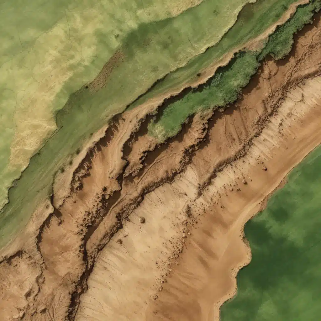
Soil erosion is a significant environmental threat that can have far-reaching consequences, particularly in the Eastern Mediterranean region, including Syria. This geophysical process leads to the destruction of topsoil, resulting in the loss of essential nutrients and impacting agricultural productivity. At the river basin scale, accelerated soil erosion can also alter biodiversity and increase long-term maintenance costs.
In the western mountainous region of Syria, the Ghamima River Basin is experiencing increased soil erosion rates due to a combination of factors, including heavy rainfall, rugged terrain, sparse vegetation, and accelerated human activity. National literature indicates that about 18% of agricultural lands in this region are at risk of soil loss exceeding 100 tons per hectare per year. Addressing this challenge requires a comprehensive and data-driven approach to spatial assessment and management of soil erosion risks.
Integrating RUSLE and GIS for Effective Soil Erosion Modeling
To better understand and manage the soil erosion challenges in the Ghamima River Basin, this study employed the Revised Universal Soil Loss Equation (RUSLE) model integrated with Geographic Information System (GIS) techniques. The RUSLE model is a widely recognized and effective tool for quantifying the magnitude of soil erosion, evaluating the influence of various factors, and informing decision-making processes.
The key steps in this integrated RUSLE-GIS modeling approach included:
-
Rainfall Erosivity (R Factor): Analyzing rainfall data from nearby climate stations to determine the R factor, which represents the ability of rainfall to cause erosion.
-
Soil Erodibility (K Factor): Processing soil data from the Global Soil Grid Database to calculate the K factor, which reflects the inherent erodibility of the soil.
-
Topography (LS Factor): Utilizing a Digital Elevation Model (DEM) to derive the LS factor, which considers the slope length, angle, and steepness.
-
Vegetation Cover (C Factor): Leveraging satellite imagery from the Sentinel-2 satellite to estimate the Normalized Difference Vegetation Index (NDVI) and the associated C factor, which represents the influence of land cover and agricultural systems.
-
Erosion Control Practices (P Factor): Assessing the field conditions to determine the P factor, which accounts for the presence and effectiveness of soil conservation and maintenance practices.
By integrating these RUSLE factors within the GIS environment, the researchers were able to produce detailed maps of the spatial distribution of potential soil loss within the Ghamima River Basin. This comprehensive analysis provided valuable insights for decision-makers to develop and implement effective soil erosion management strategies.
Spatial Assessment of Soil Erosion Risks
The RUSLE-GIS modeling revealed that the Ghamima River Basin faces significant soil erosion challenges, with an estimated annual potential soil loss rate of 60 tons per hectare per year. This finding is consistent with the literature on soil erosion assessments conducted in the Mediterranean environment.
The analysis further classified the soil erosion risk into five categories:
- Very Low (47.31%): These areas are relatively stable and require minimal intervention.
- Low (28.38%): Monitoring and targeted conservation measures can help maintain soil stability.
- Medium (12.61%): Implementing soil erosion control practices is necessary to mitigate risks.
- High (6.39%): Immediate and comprehensive soil management strategies are critical to address the elevated erosion risks.
- Very High (5.31%): These areas, particularly in the northeastern mountainous region, require urgent and specialized interventions to prevent severe soil loss and associated environmental and economic consequences.
Informing Sustainable Soil Erosion Management Strategies
The findings of this RUSLE-GIS modeling study provide crucial insights for decision-makers and stakeholders in the Ghamima River Basin. The high and very high erosion risk areas, accounting for 11.7% of the basin, require immediate attention and the implementation of suitable mitigation and conservation strategies.
Some of the potential strategies that can be considered include:
-
Sustainable Agricultural Practices: Promoting soil-friendly farming methods, such as contour farming, strip cropping, and the use of cover crops, to reduce the impact of agricultural activities on soil erosion.
-
Vegetation Management: Enhancing and maintaining vegetation cover, particularly in areas with high erosion risks, to stabilize the soil and slow down runoff.
-
Structural Interventions: Constructing erosion control structures, such as terraces, check dams, and sediment traps, to intercept and slow down the movement of eroded soil.
-
Integrated Watershed Management: Adopting a holistic approach to managing the entire river basin, coordinating efforts across different land uses and stakeholders to address soil erosion challenges.
-
Community Engagement and Capacity Building: Empowering local communities, farmers, and land managers with knowledge, skills, and resources to implement and maintain effective soil conservation practices.
By integrating the insights from this RUSLE-GIS modeling study, decision-makers and stakeholders in the Ghamima River Basin can develop and implement comprehensive, sustainable, and evidence-based soil erosion management strategies. This approach can help safeguard the region’s valuable soil resources, enhance agricultural productivity, and promote long-term environmental and economic resilience.
Conclusion
The integrated RUSLE-GIS modeling approach undertaken in the Ghamima River Basin has provided valuable insights into the spatial distribution and severity of soil erosion challenges in this region of Syria. The findings highlight the critical need for immediate and targeted interventions to address the high and very high erosion risk areas, which can have far-reaching implications for the region’s agricultural productivity, food security, and overall environmental sustainability.
By leveraging the power of geospatial technologies and empirical modeling, this study has laid the groundwork for the development and implementation of effective, data-driven soil erosion management strategies. Engaging stakeholders, promoting sustainable land use practices, and fostering community-based conservation efforts will be essential in tackling this pressing environmental issue and ensuring the long-term resilience of the Ghamima River Basin.
The integrated RUSLE-GIS approach showcased in this article can serve as a valuable model for other river basins and regions facing similar soil erosion challenges, providing a blueprint for data-driven decision-making and the implementation of comprehensive soil conservation measures. By addressing soil erosion through this holistic and collaborative approach, we can work towards a future where the region’s precious soil resources are safeguarded, and the livelihoods and well-being of the local communities are secured.

